
Baqueira (Tonyon)

Avalanche risk

10 months

2017
Project Description
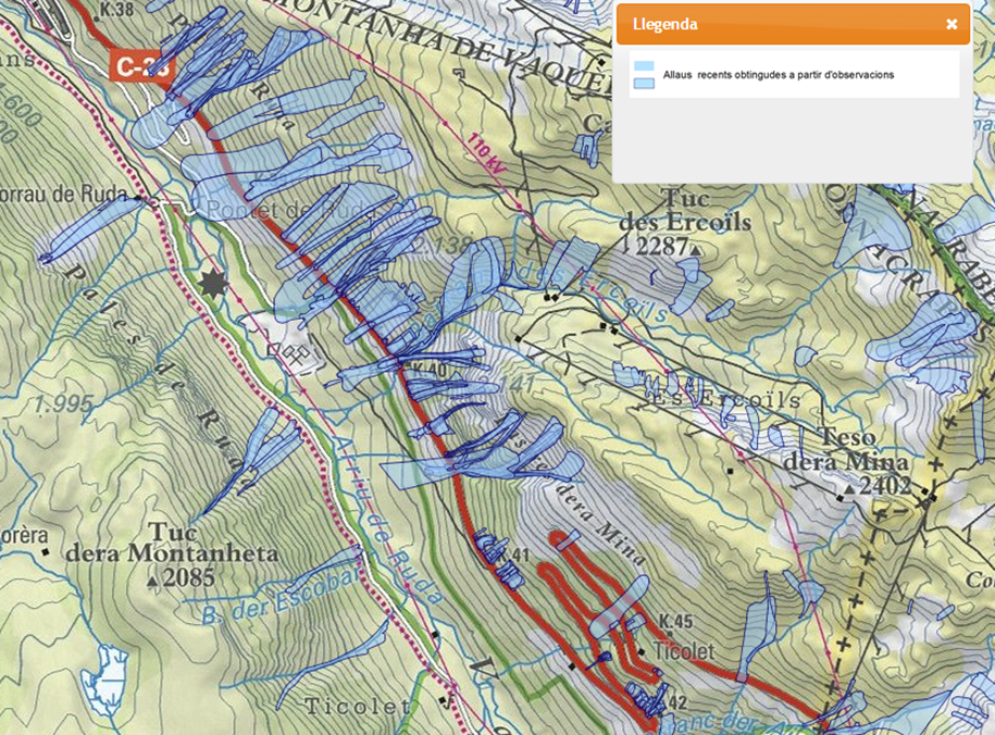
The study has been developed based on the information provided by the owning administration, as well as nivological, topographic, and official avalanche data obtained from the Cartographic and Geological Institute of Catalonia (ICGC).
A statistical analysis of the nivoclimatic and geomorphological data from the slope was carried out, using a digital terrain model (LIDAR) generated from available altimetric cartography.
The obtained data were analyzed against surveys, morphological slope maps, 3D digital models, and observed avalanche records to identify possible release points. Five main zones were simulated individually, following geomorphological criteria to evaluate the probability of simultaneity or propagation between detected polygons.
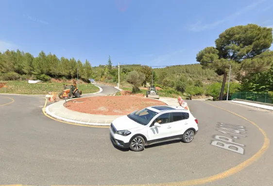
Once the zoning was defined, return periods for snow thickness were established to determine the height of avalanche barriers to be installed on the C-28 road, between PK 38+000 and 42+000.
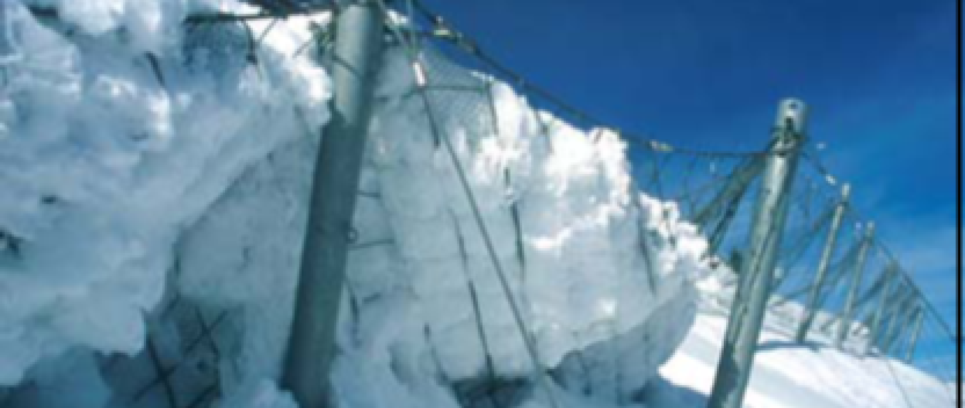
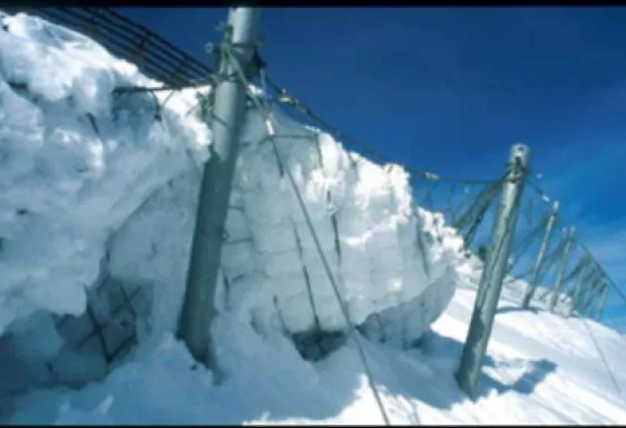
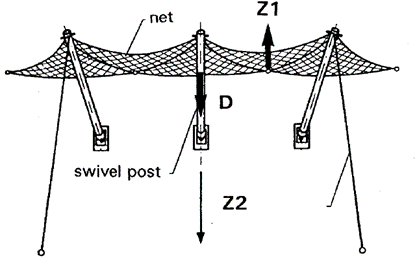
Finally, the simulations were carried out using the numerical model RAMMS (Rapid Mass Movement Simulation), developed by WSL/SLF in Switzerland. Based on the results, the installation of "Snow Net" avalanche barriers, approved by SLF, was proposed.
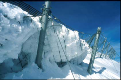
Avalanche barrier Snow net type DK 3.5 and 4, N 3.2.
Invisibility: reduction of the visual impact that other types of rigid wood or iron protections can generate.
Dynamic capacity: ability to absorb impacts produced by rockfalls.
Projection: Avalanche barrier type Snow Net, arranged in linear rows spaced between 15 and 18 meters in plan, and anchored to the ground.
Other projects
related with Geotechnical studies
Rehabilitation and expansion of the East Platform at the Naval Base in Rota.
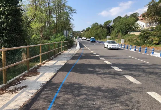
Road audit C-35 from PK 49+860 to 55+450